Brand
Aerial rendering of a development: the project, the area and what's nearby
In short: An aerial rendering shows the development from above, set in its real neighborhood, with the streets, green spaces and places nearby. It answers the location question better than a map and is key for subdivisions, gated communities and buyers who don't know the area.
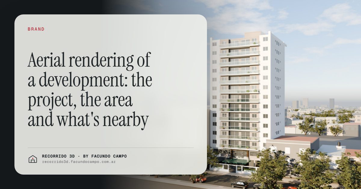
An aerial rendering shows a development from above, placed in its real neighborhood, with the surrounding streets, parks and the places people care about nearby. It answers the first question most buyers ask, "where exactly is it, and what's around it?", faster and more clearly than a map pin. For land subdivisions, master-planned neighborhoods and buyers who don't know the area, it's often the most useful image in the set.
What question does an aerial view answer?
Location sells, and location is hard to explain. A street address means little to someone from out of town. A map shows streets but not what they feel like. A facade rendering shows the building but not its context.
An aerial view brings all of that together:
- Where the project sits in relation to the main avenue, the park, the waterfront or the town center.
- What's nearby: schools, shops, transit, green spaces.
- The scale of the project: how many buildings, how the lots are laid out, how big the common areas are.
- What the surroundings look like: low-rise or dense, leafy or urban, quiet or busy.
For many buyers, that one image settles whether the project is even worth considering.
Which projects need it most?
Every development can benefit from an aerial view, but for some it's essential.
- Land subdivisions and lots. Buyers need to see which lot is which, how the streets run and where the green spaces are. The aerial view is the map they actually understand. It pairs well with selling lots with a house design.
- Gated and master-planned neighborhoods. The layout, the clubhouse, the lake, the trails and the entrance are the selling points, and they're only visible from above. There's more in 3D walkthroughs for gated communities and subdivisions.
- Multi-building projects. When there are several towers or blocks, an aerial view explains how they relate to each other and to the shared spaces.
- Resort and second-home projects. The beach, the mountains, the golf course: the setting is the product.
- Projects sold to out-of-town buyers. Someone who's never walked the neighborhood needs to see it. That's the core of selling to buyers in other cities.
What to show and what not to
A good aerial view is selective. It shows what helps the buyer decide and leaves out clutter.
Worth showing:
- The project, clearly highlighted, so the eye goes to it first.
- The real surroundings, with the actual neighboring buildings, streets and trees.
- Nearby landmarks people recognize: a park, a station, a well-known avenue, a shopping area.
- Simple labels, if useful, pointing to what's nearby. A few, not twenty.
Not worth showing:
- Invented surroundings. A park that doesn't exist or a view that's blocked in reality.
- Distances or travel times you can't back up.
- Future projects that aren't confirmed, like a new train line or a mall that's only been rumored.
Honesty here is especially important. Buyers check locations on map apps; if the image doesn't match, trust is gone.
Close aerial or neighborhood aerial?
There are two main kinds of aerial view, and they do different jobs.
A close aerial is a view from a moderate height, angled, showing the building and its immediate block. It works well for a single building between neighbors, showing the rooftop amenities, the garden or the relationship to the corner. It's halfway between a facade view and a map.
A neighborhood aerial is higher and wider. The project is smaller in the frame, but the context is the star: the park, the coast, the main roads, the town. It's the image for explaining location, especially to buyers who don't know the area.
Larger projects often use both: the wide view to explain where, and the close view to show what.
Where it works best
- The project page on the website, in the location section.
- The brochure, as the location page. The digital brochure article covers where it fits.
- Investor presentations, to explain the site and its potential.
- Listings, as one of the first images after the facade.
- Sales meetings and video calls, as the starting point before going into the units.
In an interactive walkthrough, the aerial view can be the entrance: the buyer sees the building in its neighborhood, then taps a floor and goes inside a unit. The Maconda XXIV building demo, an unofficial working demo, starts with the building on its real block before going floor by floor.
An aerial rendering or a drone photo?
A drone photo of the site shows the real surroundings, which is valuable, but before construction the site is an empty lot or a hole in the ground. It shows where, not what.
An aerial rendering shows the finished project in its real setting, which is what the buyer is actually paying for. Some developers combine both: a drone photo for the current state of the area and the rendering for what's coming. Once construction is advanced, real drone photos become a strong progress update.
I make aerial and exterior renderings for developers and agencies, working remotely from Buenos Aires, Argentina (UTC−3). Send me the site plan and the address, and we'll figure out which view tells your location story best. Message me on WhatsApp at +54 9 11 6193-3176 or email facundocampo100@gmail.com. I answer in English and Spanish.
Frequently asked questions
What is an aerial rendering of a development for?
To show the project from above in its real neighborhood, with streets, green spaces and nearby places. It answers the location question and shows the scale and layout of the project.
Does an aerial rendering make sense for a single building between neighbors?
Yes, as a close aerial view. It shows the rooftop, the amenities and how the building sits on its block, which a street-level view can't show.
Can nearby places be labeled in the image?
Yes, a few simple labels for places people recognize, like a park, a station or an avenue, help a lot. It's best to avoid distances or travel times that can't be backed up.
Is it the same as a drone photo?
No. A drone photo shows the site as it is today, usually empty before construction. An aerial rendering shows the finished project in its real surroundings. They work well together.